


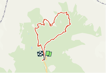

11.8 km | 24 km-effort

User


FREE GPS app for hiking
 SityTrail
IGN / Geographical institutes
SityTrail World
The world is yours!
Trail Walking of 9.4 km to be discovered at Provence-Alpes-Côte d'Azur, Hautes-Alpes, La Chapelle-en-Valgaudémar. This trail is proposed by djeepee74.
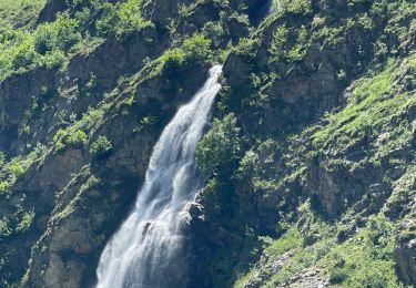
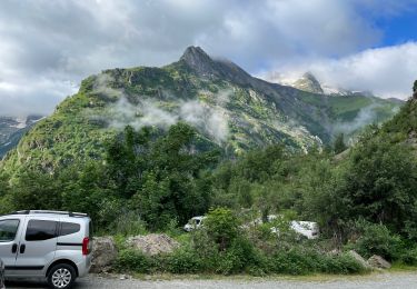
BOUCLE... live de Cris & Karine le 20220716
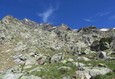
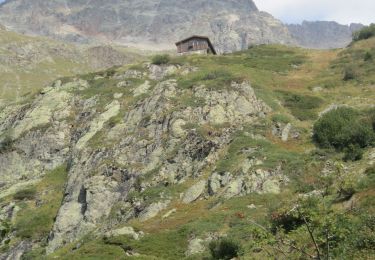
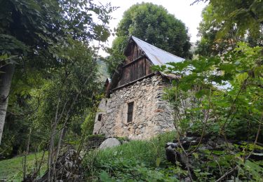
... montée par la cabane / abri du Vaccivier (2130 m.)
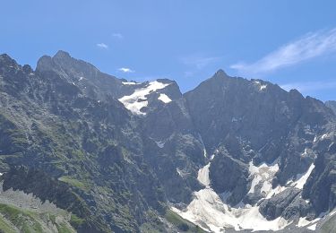
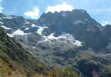
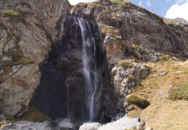
MAGNIFIQUE !!!


Walking
On foot
On foot
Walking
On foot
Walking
Walking
Walking
Walking